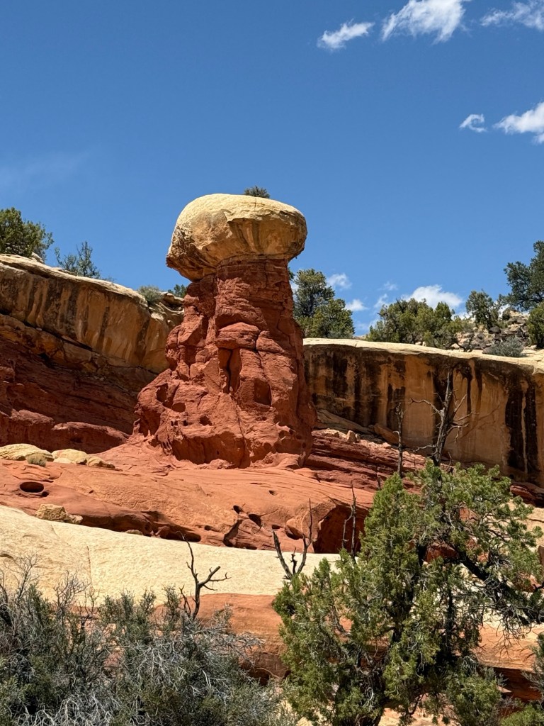
So first of all, I was curious about the name of the park, but it is pretty straight forward, being named after the Navajo sandstone cliffs with dome features that look like capitol buildings, and reef in recognition of it blocking travel. Nothing to do with fossils or marine biology – so disappointing. Oh well.
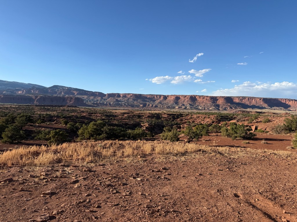
An uneventful drive this morning that only took 2 hours. I stopped in Torrey to briefly poke around before heading up to the local boondocking area on Leas Bear Flat Road. It is really interesting, just a poor attempt at any sort of organization with space for probably dozens if not hundreds of RVs, you just sort of pick a spot and either park or leave something to signify it is taken. I put down the outdoor rug and threw some rocks to keep it from blowing away. Then I headed to the park’s visitor center to figure out a plan. I did a quick drive down part of the scenic drive, but much of it is closed for construction. I wanted to hike up to Cassidy Arch, but the road is restricted to vehicles 23’ or shorter, so the RV wasn’t going to cut it. So I headed back up the road and parked to hike the Cohab Canyon Trail that connects to the Frying Pan Trail which does go over to the Cassidy Arch. Why not? Maybe about 8 miles round trip, I’ve done that before… so I pack up my gear and head out. And up! Switchbacks right out of the gate, 18 of them – ugh!
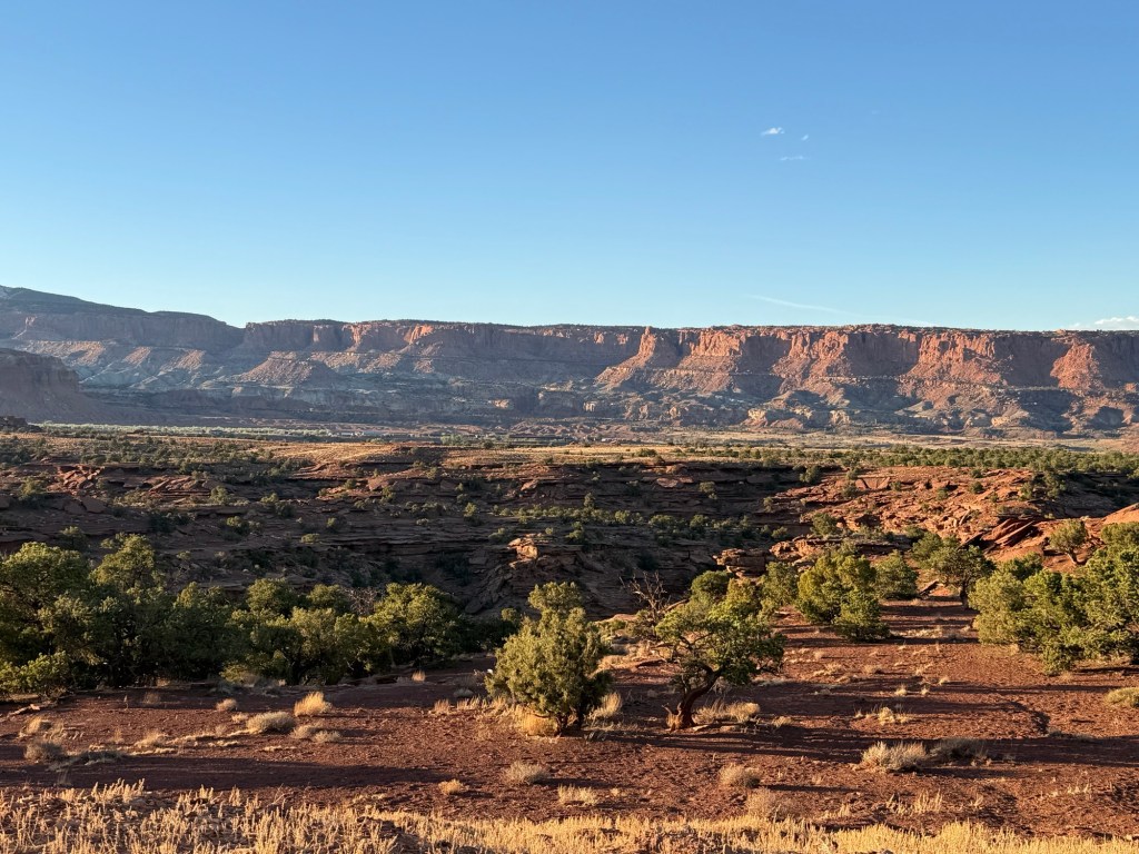
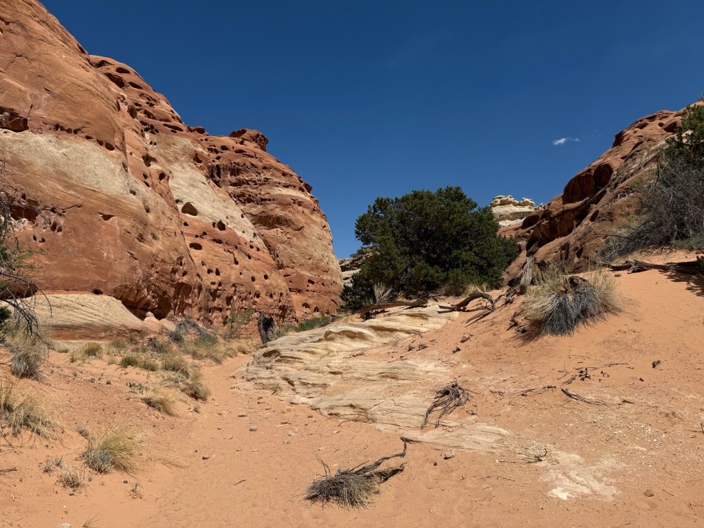
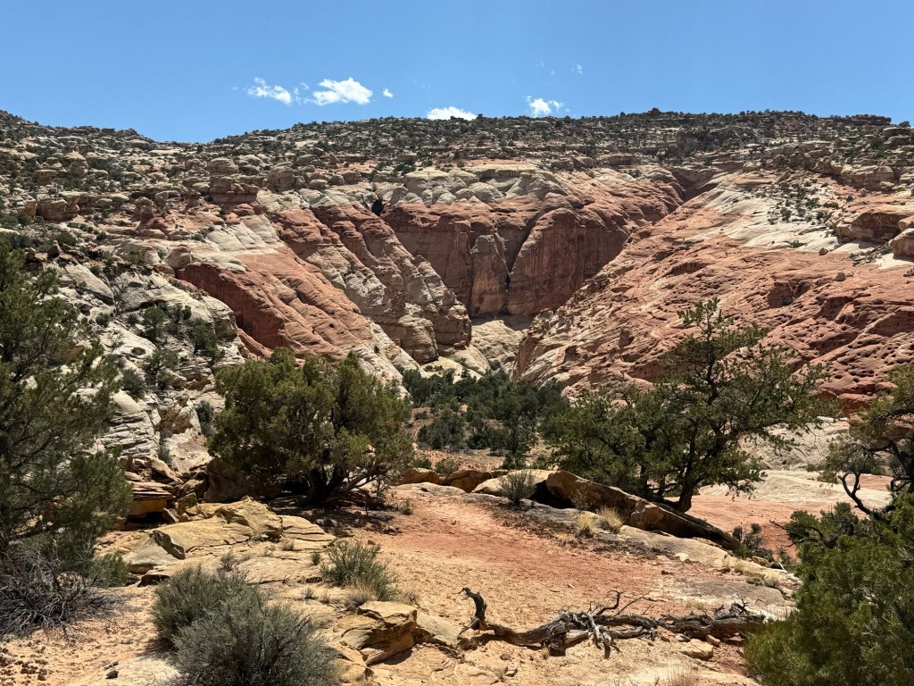
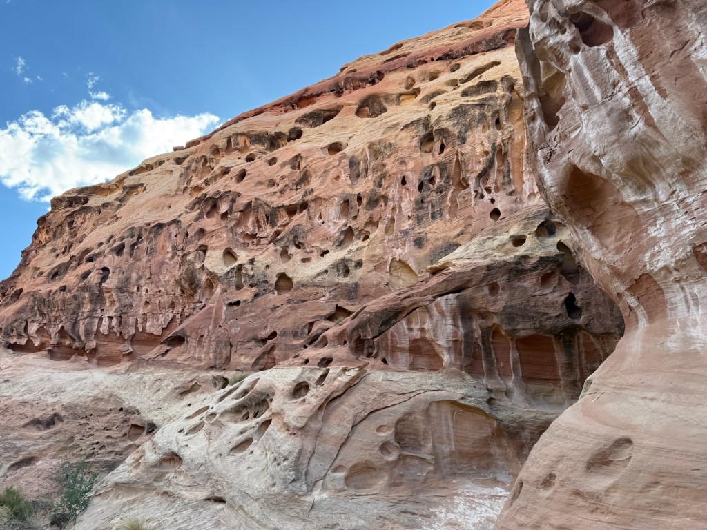
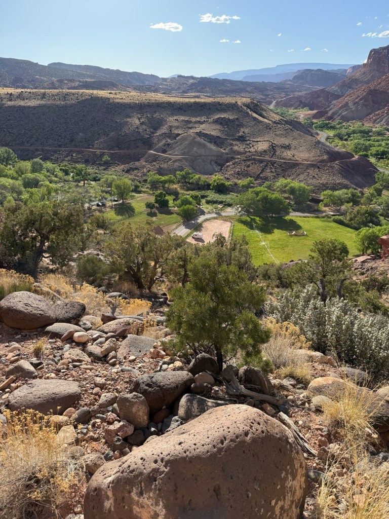
Really neat canyon walls, and the views of neighboring cliffs were really neat!


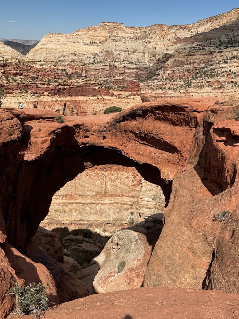
And then the climb started. The trail takes you up and over the plateau before dropping you back down to the arch. The climb up on the way out was brutal with about 1,000’ of climbing in about 3 miles, and no shade nor breeze coming out of the canyon. I was ready to turn around at the top, but there was a nice breeze blowing on that side of the plateau and the slope didn’t seem so steep on that side, so I decided to keep going. Perhaps not the brightest choice, but oh well. I finally did make it to the arch, but took a couple of pictures and a couple of minutes to catch my breath and headed back.
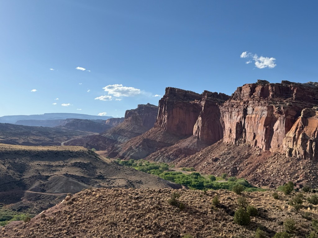
I didn’t take many pictures on the way back since I was kind of feeling like I was a bit in survival mode, but as the sun started to get low there were some neat views.


At one point I made a minor error and stepped onto an unofficial trail, only for about 50 yards or so, but it ended up putting me in the position to get a picture of what I thought was another deer, but turned out to be a Rocky Mountain Bighorn Sheep, and this one didn’t try to kill Mr by dropping a rock on my head, so added bonus.

I ended up running out of water at the top of the switchbacks down to the trail head, cutting it closer than I would like, but I had been really working on keeping hydrated with the sun and heat, so I was still in good shape. I won’t lie though, seeing the RV was a welcome sight. Just 18 switchbacks and I was done!
All told, 8.9 miles with just over 3,000’ ascent in 4.5 hours. Oh, and I made pink sweat stains apparently. That’s a new one, and something I am definitely going to keep an eye on in the future…
I made it back to the campsite, rinsed off and watched the sun set along the cliffs before making ground turkey soft taco’s for dinner.